KÜTAHYA, GEDİZ, AKÇAALAN VILLAGE (Eski Gediz District)
KÜTAHYA
- TÜRKİYE
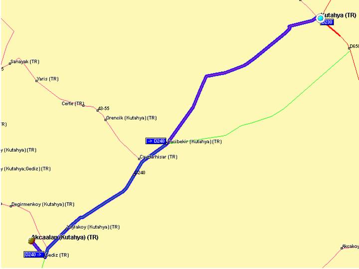
KUTAHYA MAP, WAY AND KILOMETER INFORMATION
Kilometer
Chart Between our Village and The Other Cities
|
Gediz’e Kütahya’ya İstanbul’a Manisa’ya İzmir’e Ankara’ya Antalya’ya |
15
Km. 75
Km. 425
Km.
230 Km. 250 Km. 387 Km. 340 Km.
|
MAP
and KILOMETRE INFORMATION
Our
town is about 400 km. distance to the central cities.
At
least during a journey you can see these;
Historical
houses remaining from the eartquake, waterfalls, natural and artifical lakes,
natural beauties of high plateus, famous cherry garden, grape vineyards,
historical house of Ex-Gediz, Private Municipality Museum, National Park of
Murat Mountain, trout farms Ilıca, Asmalı Çınar Picnic Places, Monuments of
Maritries,
Aizoani
in Çavdarhisar, dam ponda, the interritance of Rome,
Famous
Pond of Kayaköy,
Swimming
Pools of Esire,
Healing
Thermal Resorts of Hamamköy,
Emet
Cevizdere Martydom and Tiberepolis,
Ulu
Mosque Big Seyfullah Mosque which is formed wooden of Mimar Sinan,
Hisarbey
Mosque in Simav, Ankyra Antic City, Gölcük Lake and
Eynal
Thermal Resorts.
Source
|
Antik
Kent Bilgileri Kütahya Culture & Tourism Manager - Tourism Map |
|
|
Europe-
Route Planner Europe E-Map |
|
|
Akçaalan
Web Sitesi |